
fractal
geospatial solutions


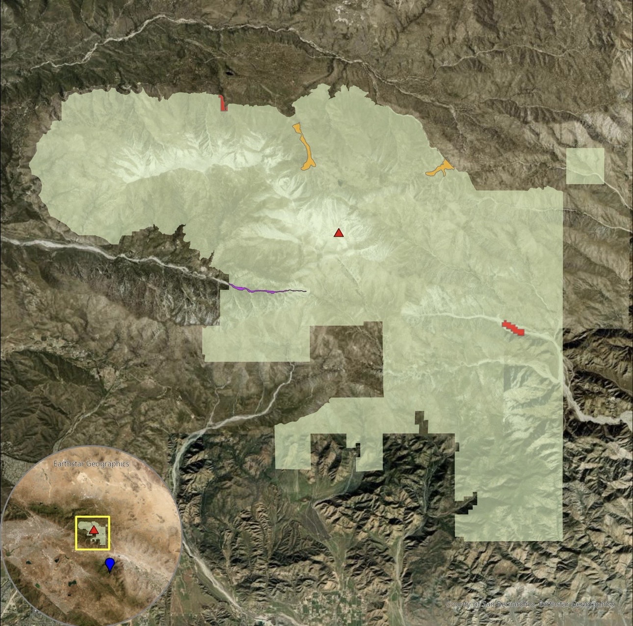
cartographic design
visualizing
spatial
stories
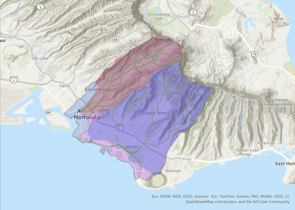
Crafting maps that communicate complex data clearly and effectively. Through thoughtful design, color, and layout, each map tells a story that guides understanding and decision-making.

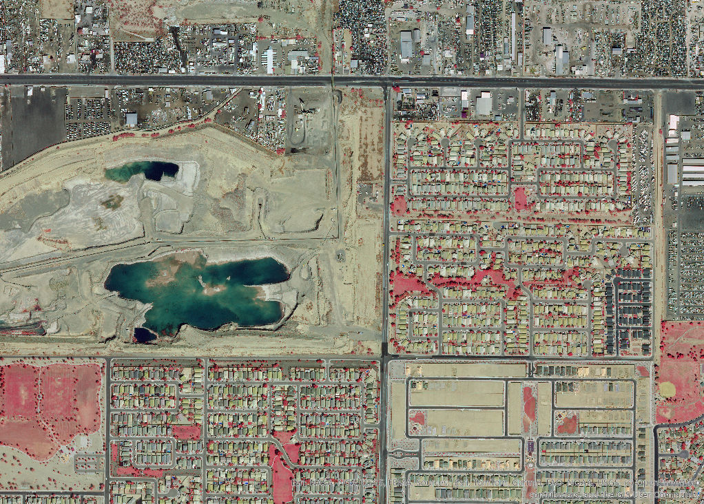
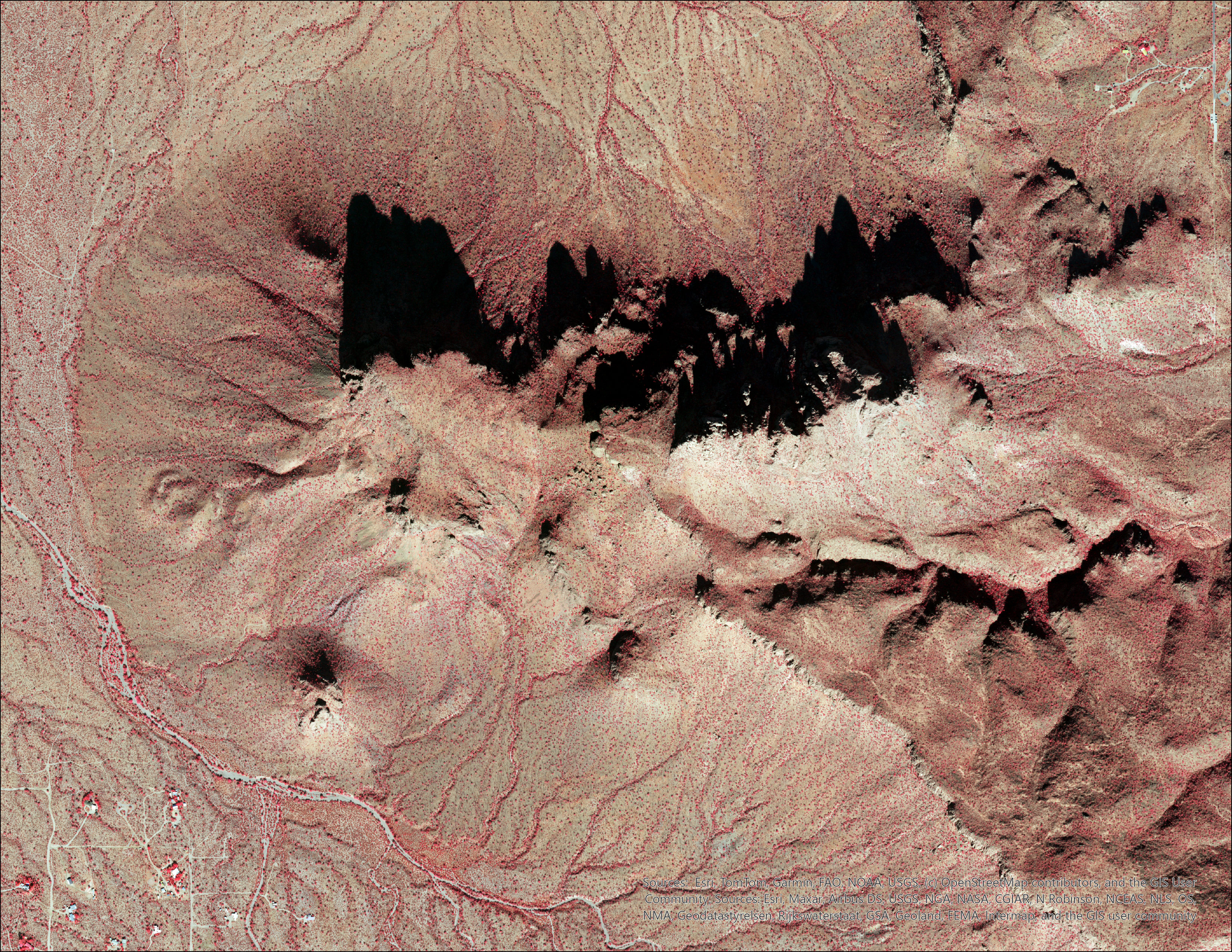
remote sensing
revealing
We craft compelling brand identities that resonate with your audience and leave a lasting impression. From logo design to comprehensive brand strategies, we help you define who you are and stand out in a crowded market.

hidden
Our design services bring creativity and function together, delivering user-friendly experiences and products. Whether it’s graphic design, UI/UX, or motion graphics, we shape ideas into designs that captivate and engage.
patterns
From robust websites to cutting-edge web applications, our development team builds fast, secure, and scalable digital solutions tailored to your needs. We transform designs into online experiences that deliver results.
Leveraging satellite and aerial imagery to reveal patterns invisible to the naked eye. From vegetation health to land change, each analysis uncovers insights that drive understanding and action.
Portfolio
featured projects
©2025 — 2026


Benefits
Why
choose
us

Core Services
- Environmental & Ecological GIS Analysis
- Coastal & Climate Change Analysis
- Watershed, Hydrology, & Flow Analysis

Decision & Planning Intelligence
- Spatial Suitability & Impact Modeling
- Viewshed & Visual Impact Analysis
- Geospatial Data Processing
- Custom GIS Deliverables & Reporting

System Proficiencies
Proficient in industry-standard GIS software, data analysis tools, and automation scripting for geospatial workflows.
Our Founder
Erick Conde began his career in geospatial analysis in May 2021 while serving in the military as a Geospatial Intelligence Imagery Analyst. Through rigorous training and real-world mission support, he developed a strong foundation in imagery exploitation, spatial analysis, spatial data management, and remote sensing.
Throughout his service, he worked closely with Geospatial Engineers, becoming highly proficient in ArcGIS Pro and applying GIS workflows in high-stakes, time-sensitive environments. As his experience grew, so did his passion for GIS, leading him to pursue continuous self-development—including earning a personal ArcGIS Pro license and teaching himself Python to automate geospatial processes.
Today, he leverages his background in imagery analysis and military GIS operations to deliver precise, efficient, and reliable geospatial solutions. His experience has shaped him into a versatile GIS Analyst with a strong focus on accuracy, efficiency, and real-world application.

Fractal
geospatial solutions
